Share Clarence River Estuary Coastal Management Program on FacebookShare Clarence River Estuary Coastal Management Program on X (formerly Twitter)Share Clarence River Estuary Coastal Management Program on LinkedinEmail Clarence River Estuary Coastal Management Program link
Clarence River Estuary Coastal Management Program Scoping Study
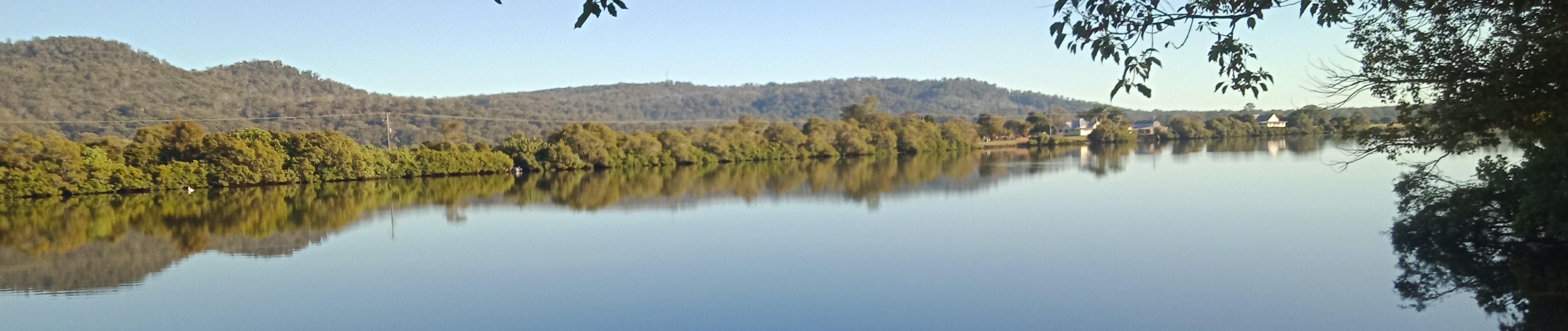
The Clarence River system is one of the largest in Australia. Many parts of the river system are in good condition but a range of past activities, rapid development and changes in land use continue to have an adverse effect on parts of the river system including the estuary. Council is required to prepare Coastal Management Programs (CMPs) in accordance with the Coastal Management Act 2016 and State Environmental Planning Policy (Coastal Management) 2018. The current estuary management plans for the Clarence Valley are now being updated to CMPs.
Clarence River Estuary Coastal Management Program Scoping Study
The Clarence River system is one of the largest in Australia. Many parts of the river system are in good condition but a range of past activities, rapid development and changes in land use continue to have an adverse effect on parts of the river system including the estuary. Council is required to prepare Coastal Management Programs (CMPs) in accordance with the Coastal Management Act 2016 and State Environmental Planning Policy (Coastal Management) 2018. The current estuary management plans for the Clarence Valley are now being updated to CMPs.
As outlined in the NSW Coastal Management Manual, CMP preparation is undertaken in five stages. The final objective of this five-stage process is to develop and apply a long-term strategy with appropriate management actions for the area. In September 2022, Council completed and adopted the CMP Scoping Study (Stage 1). You can download these documents (Volume 1 and 2) from this page (right). Council is progressing Stage 2 during 2026.
The Clarence River has a large catchment area which extends from the Queensland border east of Stanthorpe in the north-west, to Ebor and Dorrigo in the south and east to the entrance at Yamba / Iluka. The catchment has historically undergone substantial land use modifications and as such the management of the entire catchment has a significant impact on the health of the estuary. The study area for the CMP will include the entire Clarence River catchment to capture aspects of the broader catchment that have an impact on estuary health. The Clarence River entrance to Whiting Beach is being considered in a separate CMP for the Clarence Valley coastline and will not be included in the Clarence River estuary CMP.
Stakeholder engagement is an important component of each stage of the CMP development. As part of the Scoping Study, feedback was obtained through a community survey, feedback tools on the Clarence Conversations webpage and other stakeholder input. The feedback received provides a good snapshot of stakeholder opinion about the study area including popular activities, locations of current issues, management priorities and the community’s vision for the future of the estuary. The feedback received is included in Volume 2 of the Scoping Study. At all stages, the community is welcome to post questions and feedback on this page. Thank you to everyone who has provided input so far. There will be additional opportunities to be involved in the CMP development in later stages.
We appreciate your time in helping to manage this remarkable river system.
Clarence River Estuary Coastal Management Program has finished this stage
The scoping study involves collation of existing information, community and stakeholder engagement and scoping of technical studies to fill key information gaps.
Stage 2 - Detailed studies of vulnerabilities and opportunities
Clarence River Estuary Coastal Management Program is currently at this stage
Stage 3 - Identification and evaluation of options
this is an upcoming stage for Clarence River Estuary Coastal Management Program
Stage 4 - Prepare, exhibit, certify and adopt the CMP
this is an upcoming stage for Clarence River Estuary Coastal Management Program
Stage 5 - Implementation, monitoring and reporting
this is an upcoming stage for Clarence River Estuary Coastal Management Program