Clarence Valley Open Coast Coastal Management Program
UPDATE (JANUARY 2025): Council has now completed the preparation of the Coastal Management Program (CMP) for the Clarence Valley Open Coast. The CMP Stage 4 report was adopted for certification (Resolution 07.24.158) at the August Ordinary Council Meeting. Following adoption the CMP was submitted to the NSW Minister for Environment for certification. The CMP was certified by the Minister in December 2024 and published in the NSW Government Gazette January 10 2025 and now has effect. Following certification and gazettal, actions in the CMP are now eligible for funding and implementation (Stage 5) can begin.
Background:
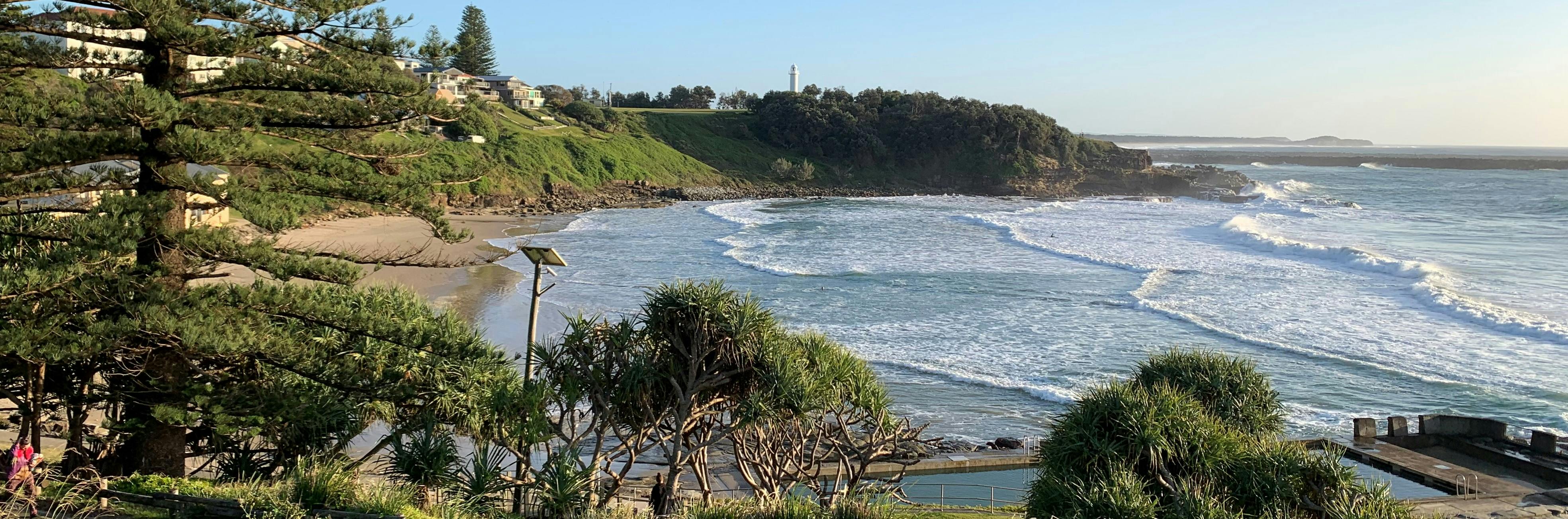
In March 2021, Council completed the Scoping Study for the CMP (available for download from this page). The study area for the CMP includes the open beaches, foreshores and coastal waters of the Clarence Valley Local Government Area (including Woody Head, Iluka, Yamba, Angourie, Brooms Head, Sandon, Minnie Water, Diggers Camp and Wooli) and the estuaries and lagoons of Lake Cakora, Lake Arragan, Sandon River and Wooli Wooli River. The study area excludes the Clarence River estuary and its catchment but includes the area from the Clarence River entrance to Whiting Beach. Wooloweyah Lagoon is being included in the future CMP for the Clarence River estuary as the lagoon is a part of the broader Clarence River estuary and many of the issues are similar and/or related to the broader estuary. The development of the Clarence River Estuary CMP is running in parallel to this Coastline CMP (see link on this page).
As part of the development of the CMP Scoping Study, feedback was obtained through a community survey and other feedback tools on the Clarence Conversations webpage. The feedback we received provided a good snapshot of community opinion about the study area including popular activities and locations of current issues, management priorities and the community’s vision for the future of the coastline and estuaries. The feedback has been used to guide the focus of the CMP.
Stage 2 (detailed studies into risks, vulnerabilities and opportunities) was completed in November 2023 (available for download from this page). This included mapping of coastal hazards along the entire coastline with detailed analysis of beach erosion, coastal recession and coastal inundation hazards for current and emerging high-risk locations. Stage 2 also included a review of slope stability risks at Pilot Hill, Convent Beach and Cakora Point.
Stage 3 of the CMP included development and assessment of management options to address the issues identified in Stages 1 and 2 and identification of recommended management options. Thank you to everyone who provided feedback on Stage 3. Council considered the feedback in the development of strategies, actions and tasks included in the draft CMP.
Stage 4 (the CMP) is a long-term strategy for the coordinated management of the Clarence Valley Open Coast. It includes strategies and actions to address the key threats and support the diversity of natural values and human uses along the Clarence Valley coastline. The actions are to be implemented by Council and other land managers over the next 10 years.
Stage 5 is the implementation of the Stage 4 CMP.
![]()
![]()
Other documents
-
 Clarence Valley Coastline and Estuaries: Coastal Management Program Stage 1 Scoping Study (10.3 MB) (pdf)
-
Fact Sheet - Coastal protection works & management-2018-04 (77.3 KB) (pdf)
-
Overview of coastal management in NSW
-
Coastline CMP area showing coastal management areas from the Coastal Management SEPP (7.9 MB) (png)
-
Clarence Coastline and Estuaries CMP Stage 2 Rev 1 comp.pdf
-
 CMP Stage 2 Appendix 2 - Inundation Report and Mapping
-
2021s1471-JBAP-00-00-RP-HM-0001-A1-C03-TidalCoastalInundationStudy_FinalReport[1].pdf (4.72 MB) (pdf)
-
Appendix_A_-_Brooms_Head_Inundation_Mapping_comp[1].pdf (2.76 MB) (pdf)
-
Appendix_A_-_Clarence_River_Inundation_Mapping_comp[1].pdf (6.21 MB) (pdf)
-
Appendix_A_-_Minnie_Water_Inundation_Mapping_comp[1].pdf (1.65 MB) (pdf)
-
Appendix_A_-_Sandon_Inundation_Mapping_comp[1].pdf (4.18 MB) (pdf)
-
Appendix_A_-_Wooli_Inundation_Mapping_comp[1].pdf (16.3 MB) (pdf)
-
-
CMP Stage 2 Appendix 3 - Coastal Erosion Hazard
-
CMP Stage 2 Appendix 3a - Appendix C Coastal Erosion Hazard Maps
-
20230912-Brooms-Head-Erosion-Mapping.pdf (29.6 MB) (pdf)
-
20230912-Diggers-Camp-Erosion-Mapping.pdf (27.7 MB) (pdf)
-
20230912-Lake-Cakora-entrance-Erosion-Mapping.pdf (33.2 MB) (pdf)
-
20230912-Minnie-Water-Erosion-Mapping.pdf (31.8 MB) (pdf)
-
20230912-Pippi-Beach-Erosion-Mapping.pdf (38.5 MB) (pdf)
-
20230912-Sandon-Erosion-Mapping.pdf (25.8 MB) (pdf)
-
20230912-Sandon-Village-Erosion-Mapping.pdf (33.5 MB) (pdf)
-
20230912-Shark-Bay-Erosion-Mapping.pdf (36 MB) (pdf)
-
20230912-Spooky-Beach-Erosion-Mapping.pdf (2.76 MB) (pdf)
-
20230912-Whiting-Beach-Erosion-Mapping (1).pdf (2.06 MB) (pdf)
-
20230912-Woody-Bay-Erosion-Mapping.pdf (5.45 MB) (pdf)
-
20230912-Woody-Head-Campground-Erosion-Mapping.pdf (5.62 MB) (pdf)
-
20230912-Wooli-Erosion-Mapping.pdf (2.06 MB) (pdf)
-
20230912-Wooli-Village-Erosion-Mapping.pdf (27.2 MB) (pdf)
-
-
CMP Stage 2 Appendix 4 - Regional scale erosion mapping.pdf (1.58 MB) (pdf)
-
CMP Stage 2 Appendix 5 - Geotechnical Hazard Desktop Review V2.pdf (17.8 MB) (pdf)
-
Clarence Valley Open Coast CMP Stage 3 Rev 1.pdf (12.1 MB) (pdf)